Master’s Research
Snowpack Research
Snow droughts in the western United States threaten water availability to municipalities and ecosystems, highlighting the need for accurate snowpack monitoring in regions that depend on seasonal snowmelt. SNOTEL and snow course networks provide valuable long-term records, but their sparse coverage in complex alpine terrain limits comprehensive assessments. Remote sensing helps close this gap: the Sentinel-2 mission offers high-resolution imagery for snowpack mapping, and NOAA’s High-Resolution Rapid Refresh (HRRR) model supplies meteorological data where ground stations are absent.
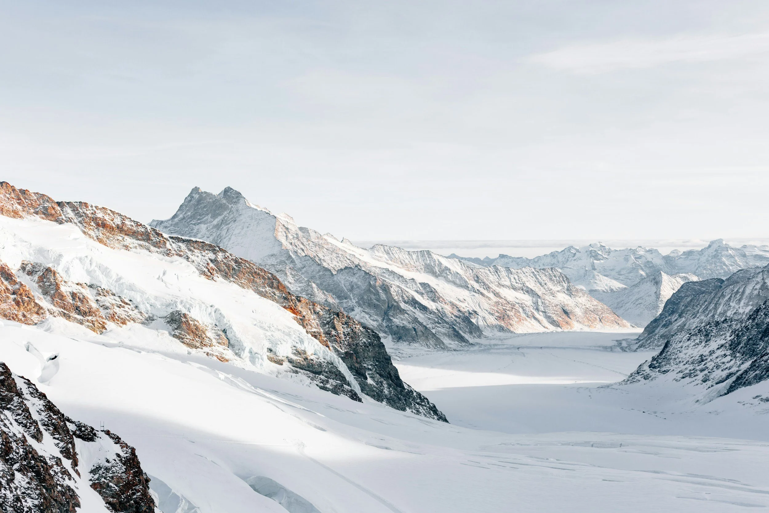
The Masters work developed a Gradient Boosting Machine (GBM) ensemble that integrated Sentinel-2 snow indices, SNOTEL observations, HRRR atmospheric variables, and DEM-derived terrain metrics at a consistent 30-meter resolution. Building on recent methods (Malygin et al., 2024), the model estimated snow water equivalent (SWE) and Snow Depth with low error across the Absaroka–Beartooth Wilderness of Montana.
“The research is important to our understanding of how machine learning can capture snowpack variability in complex alpine terrain and improve monitoring efforts in regions without expansive monitoring networks.”