The Artemis II Mission and What It Means for GIS
This past week, NASA took a major step with the Artemis II mission, sending four astronauts, Christina Koch, Jeremy Hansen, Reid Wiseman, and Victor Glover, on a 10-day journey around the Moon.
As I watched the reentry and splashdown in the Pacific Ocean, I found myself cheering alongside millions of others following the historic moment via livestream. As Rocky from Project Hail Mary would say, it was: “Amaze. Amaze. Amaze.”
Moments like this remind us that modern history is deeply tied to the advancement of space technology and our pursuit of discovery beyond Earth. But what does a mission like Artemis II mean for us here on Earth? Especially in fields like GIS?
Credit: NASA
While Artemis II is not an Earth observation mission, its impact lies in the technologies it helps advance. Space exploration demands precision, reliability, and efficiency. These same demands often drive innovation that improve how we observe and understand our own planet.
This connection is especially clear in remote sensing. As spacecraft systems become more advanced, so do the sensors, data collection methods, and analytical tools that support them. Over time, these improvements contribute to higher-resolution datasets and greater positional accuracy which are foundational to GIS platforms, like Esri.
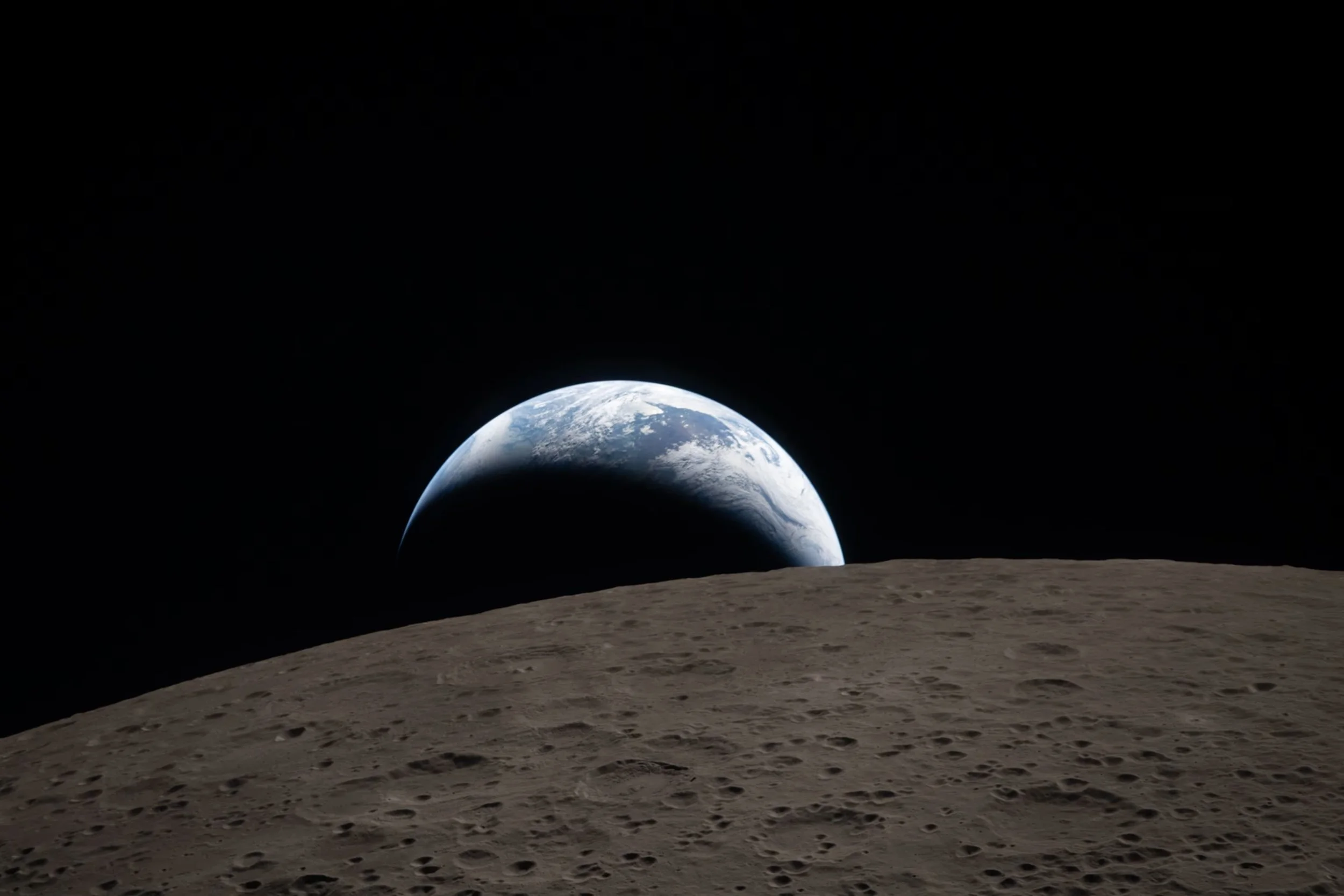
“We will explore... But ultimately, we will always choose Earth.”
Many of these advancements reach Earth through transfer initiatives like NASA Spinoff, where technology originally developed for space missions are adapted for commercial and scientific use. In this way, missions like Artemis II indirectly strengthen the capabilities of satellite systems and geospatial technologies we rely on every day.
The Orion spacecraft uses advanced navigation systems such as star trackers and optical navigation. Instead of relying on GPS, these systems determine position by observing stars and other celestial bodies.
According to the European Space Agency (ESA), star trackers are essential for precise orientation in space. The principles behind these systems — accuracy, redundancy, and reliability — also influence how positioning technologies on Earth continue to evolve.
Through these advancements we are simultaneously advancing how we study other planetary bodies. Missions like Artemis II contribute to mapping the geology, surface features, and composition of the Moon and Mars. In doing so, they push the development of more sophisticated sensors and analytical techniques, many of which have direct applications in geospatial science.

Stock images.
There is also something less tangible but equally important: inspiration. The global excitement surrounding Artemis II has the potential to motivate the next generation of scientists, engineers, and GIS professionals. The sense of wonder and curiosity often drives innovation just as much as technological necessity.
In the end, Artemis II is not just a mission to the Moon — it’s a catalyst for discovery. Its influence extends far beyond space exploration, shaping the tools, technologies, and people that will define the future of GIS on Earth and, eventually, beyond.
Sources:
Esri – What is GIS?https://www.esri.com/en-us/what-is-gis/overview
European Space Agency – Star Trackers and Space Navigation Systemshttps://www.esa.int
NASA – Artemis II Mission Overviewhttps://www.nasa.gov/artemis-ii
NASA Spinoff – Technology Transfer & Spinoff Reportshttps://spinoff.nasa.gov